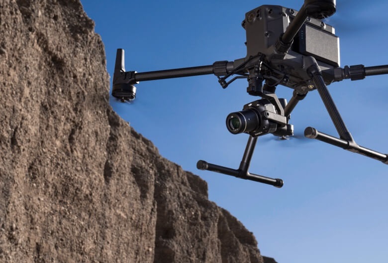
Surveying equipment
Surveying equipment refers to a range of instruments and tools used by surveyors to measure, map, and analyze land surfaces and structures. These tools are crucial for various applications, including construction, engineering, land development, mapping, and environmental assessment. Surveying equipment enables precise measurement and data collection, allowing surveyors to create accurate maps, charts, and plans. Here are some common types of surveying equipment:
1. Total Station: A total station is an electronic instrument combining the functions of a theodolite for measuring angles and a distance meter for measuring distances. It is used for precise measurement of angles, distances, and elevations, and it often includes electronic data recording capabilities.
2. GPS Receivers: Global Positioning System (GPS) receivers use satellite signals to determine precise positions on Earth’s surface. GPS receivers are used for geodetic surveying, mapping, and navigation tasks where accurate positioning is required.
3. Leveling Instruments: Leveling instruments, such as automatic levels, digital levels, and laser levels, are used to measure height differentials or elevations across a surveyed area. These instruments are essential for creating level surfaces and ensuring accurate construction.
4. Theodolites: Theodolites are optical instruments used for measuring horizontal and vertical angles. They are commonly used in construction, engineering, and land surveying to establish precise angular measurements for various purposes.
5. Laser Scanners: Laser scanners use laser beams to create highly detailed three-dimensional models of objects or landscapes. They are often used for surveying large areas or complex structures and for creating digital terrain models.
6. Data Collectors: Data collectors are handheld devices used to collect and store surveying data directly from surveying instruments. They can be used to input and edit survey data, perform calculations, and transfer data to computers for further analysis.
7. Ground Penetrating Radar (GPR): Ground penetrating radar is a non-destructive geophysical method used to detect subsurface features or objects, such as utilities, buried structures, and geological formations. It is commonly used in archaeological surveys, utility mapping, and environmental assessments.
8. Surveying Software: Surveying software is used to process, analyze, and visualize surveying data collected from various instruments. It includes tools for creating maps, calculating coordinates, generating reports, and performing geospatial analysis.
These are just a few examples of surveying equipment commonly used in the field. The choice of equipment depends on the specific requirements of the surveying project, such as accuracy, terrain, and environmental conditions.