Types of Surveying ?
Surveying is the process of measuring, mapping, and analyzing the features of a land area. There are various types of surveying, each serving different purposes. Here are some common types of surveying:
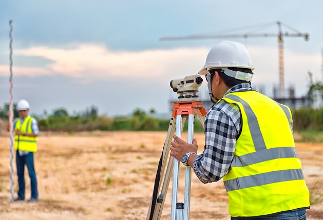
1. Land Surveying:
– Boundary Survey: Identifies and maps the legal boundaries of a property.
– Topographic Survey: Maps the natural and man-made features of a land area, including contours, elevations, and vegetation.
2. Construction Surveying:
– Construction Layout Survey: Marks the positions of structures and infrastructure during construction projects.
– As-Built Survey: Verifies that construction has been done according to the plans and specifications.
3. Geodetic Surveying:
– Geodetic Control Survey: Establishes a reference network of accurately measured points on the Earth’s surface for large-scale mapping and navigation.
4. Hydrographic Surveying:
– Bathymetric Survey: Measures the depth of water bodies, typically for navigation or underwater mapping.
– Submarine Pipeline Survey:** Examines the underwater terrain for the installation of pipelines.
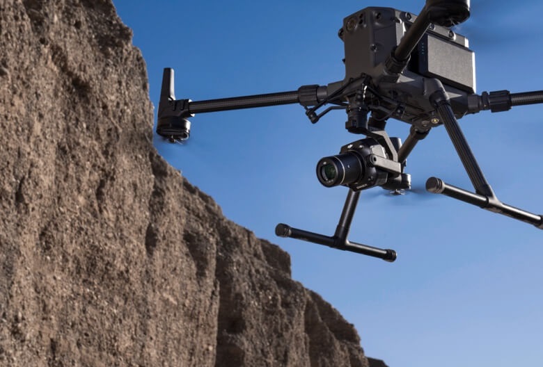
5. Aerial Surveying:
– Aerial Photography and Photogrammetry:** Uses aerial imagery to create maps and three-dimensional models of large areas.
6. Mining Surveying:
– Mine Survey: Involves mapping and monitoring the underground and surface features of a mine for resource extraction.
7. Cadastral Surveying:
– Cadastral Survey: Establishes and maintains land parcel boundaries for taxation and land ownership purposes.
8. Environmental Surveying:
– Environmental Impact Assessment (EIA):** Assesses the potential impact of a project on the environment.
– Ecological Survey: Studies the flora and fauna in a given area.
9. Archaeological Surveying:
– Archaeological Survey: Maps and documents archaeological sites to preserve cultural heritage.
10. Monitoring and Deformation Surveying:
– Deformation Survey: Monitors changes in structures or terrain over time.
– Volumetric Survey: Measures changes in the volume of materials, such as stockpiles or landfills.
11. Route Surveying:
– Route Survey:** Plans and maps the alignment for transportation infrastructure like roads, railways, or pipelines.
12. Remote Sensing:
– Satellite Surveying: Uses satellite data for mapping and monitoring large areas from space.
These are just a few examples, and surveying techniques continue to evolve with technological advancements. Surveyors use a combination of traditional tools and modern technologies such as GPS, laser scanning, and GIS (Geographic Information Systems) to gather and analyze data efficiently.